


Mt. Hood Snow Forecast
4,000' Temperatures
ROD'S WEATHER NOTES THURSDAY SNOW LEVEL: 3,000 Feet, rises to 7,000' Likely snow Thursday morning, changing to rain at pass level during the afternoon.
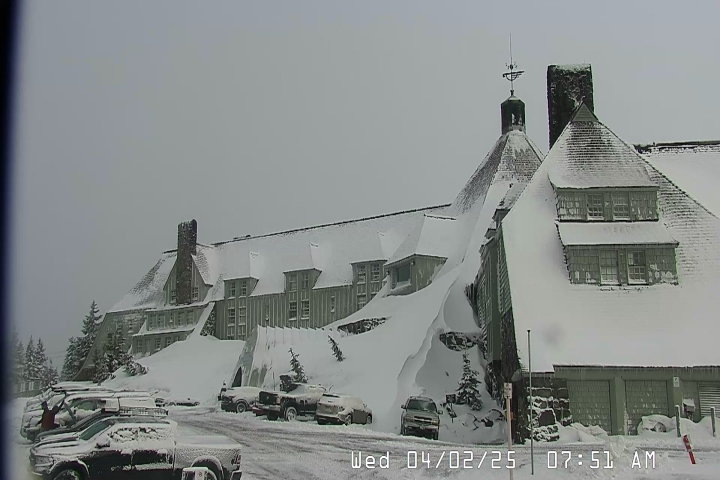
Timberline Lodge
25ºF| Elevation | 6,000' |
| Wind | @ mph |
| Wind Chill | °F |
| 24-Hour Snow | 6" |
| Base | 6" |
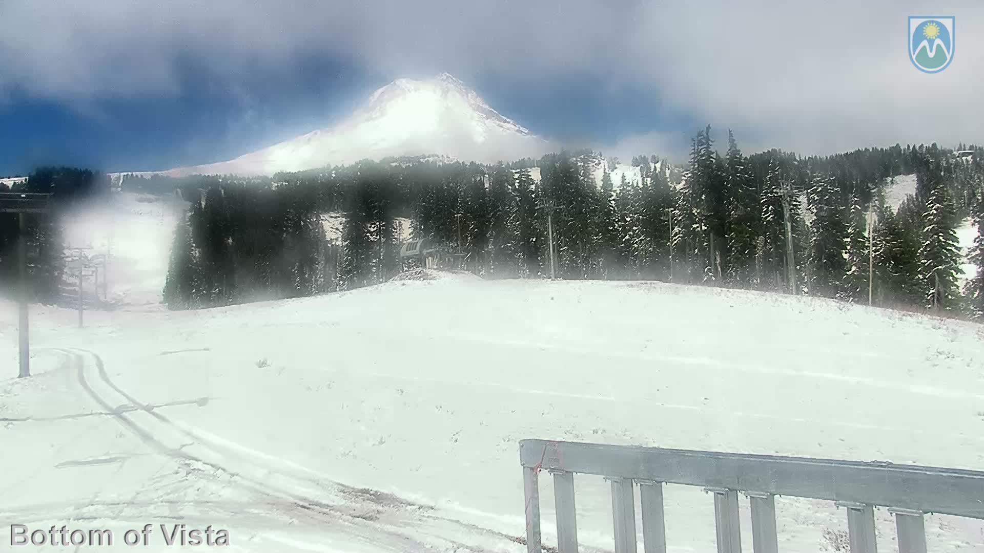
Mt Hood Meadows
44ºF| Elevation | 5,380' |
| Wind | @ mph |
| Wind Chill | °F |
| 24-Hour Snow | 6" |
| Base | 6" |
Skibowl
34ºF| Elevation | 5,010' |
| Wind | ESE @ 5.0 mph |
| Wind Chill | 29°F |
| 24-Hour Snow | 3" |
| Base | 3" |
GOVERNMENT CAMP FORECAST


Thursday : Rain and snow, becoming all rain after 10am. The rain and snow could be heavy at times. Snow level 3900 feet rising to 8500 feet in the afternoon. High near 45. East southeast wind 5 to 14 mph becoming west southwest in the afternoon. Winds could gust as high as 38 mph. Chance of precipitation is 100%. New snow accumulation of 2 to 4 inches possible.
Thursday Night : Rain before 10pm, then rain, possibly mixed with snow between 10pm and 1am, then snow after 1am. The rain and snow could be heavy at times. Snow level 6500 feet lowering to 3700 feet after midnight . Low around 30. Breezy, with a west northwest wind 10 to 16 mph, with gusts as high as 43 mph. Chance of precipitation is 100%. New snow accumulation of 2 to 4 inches possible.
Friday : Snow. The snow could be heavy at times. High near 32. West wind around 6 mph, with gusts as high as 18 mph. Chance of precipitation is 100%. New snow accumulation of 3 to 5 inches possible.
Friday Night : Snow. Low around 29. West southwest wind around 7 mph, with gusts as high as 22 mph. Chance of precipitation is 100%. New snow accumulation of 2 to 4 inches possible.
Saturday : Snow. High near 35. Chance of precipitation is 80%. New snow accumulation of less than one inch possible.
Saturday Night : Snow likely. Mostly cloudy, with a low around 27. Chance of precipitation is 70%. New snow accumulation of around an inch possible.
Sunday : Snow before 10am, then rain and snow. Snow level rising to 4400 feet in the afternoon. Cloudy, with a high near 36.
Sunday Night : Rain and snow, becoming all snow after 1am. The snow could be heavy at times. Cloudy, with a low around 31.
Monday : Snow. Cloudy, with a high near 35.
Monday Night : Snow. Mostly cloudy, with a low around 28.
Tuesday : A chance of snow. Mostly cloudy, with a high near 36.
Tuesday Night : A chance of snow. Mostly cloudy, with a low around 27.
Wednesday : Snow likely. Mostly cloudy, with a high near 36.