


Rod’s Weather Notes
TODAY
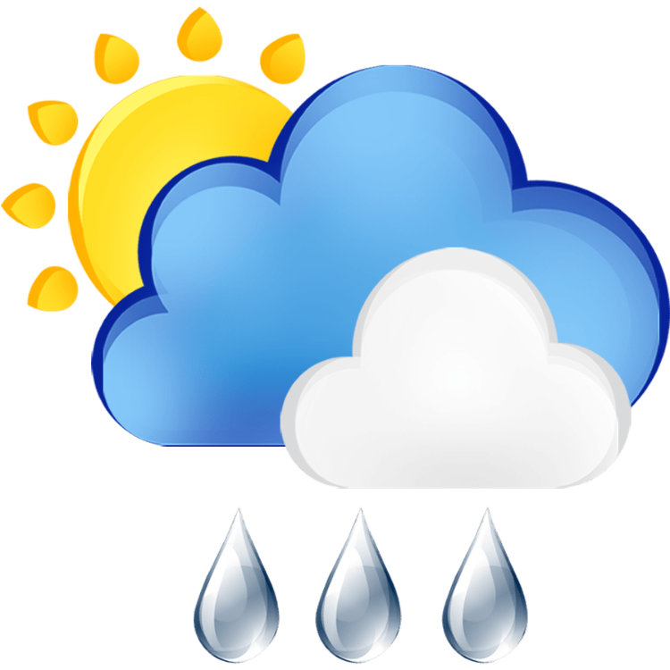
Wednesday: Rain before 10am, then showers, mainly after 10am. High near 57. South wind 7 to 11 mph, with gusts as high as 29 mph. Chance of precipitation is 90%. New precipitation amounts between a quarter and half of an inch possible.
Wednesday Night: Showers and possibly a thunderstorm. Low around 46. Southwest wind 11 to 13 mph, with gusts as high as 31 mph. Chance of precipitation is 100%. New rainfall amounts between a half and three quarters of an inch possible.
Thursday: Showers before 10am, then rain after 10am. High near 54. South southwest wind around 8 mph, with gusts as high as 18 mph. Chance of precipitation is 100%. New precipitation amounts between a half and three quarters of an inch possible.
Thursday Night: Rain. Low around 43. Southwest wind around 10 mph, with gusts as high as 26 mph. Chance of precipitation is 100%. New precipitation amounts between a half and three quarters of an inch possible.
Friday: Rain, mainly before 4pm. High near 49. Chance of precipitation is 100%.
Friday Night: A 40 percent chance of rain before 10pm. Patchy fog between 10pm and 1am. Otherwise, mostly cloudy, with a low around 39.
Saturday: Partly sunny, with a high near 56.
Saturday Night: Mostly cloudy, with a low around 44.
Sunday: A slight chance of rain. Mostly cloudy, with a high near 59.
Sunday Night: A chance of rain. Mostly cloudy, with a low around 46.
Monday: Rain likely. Mostly cloudy, with a high near 56.
Monday Night: Rain likely. Mostly cloudy, with a low around 45.
Veterans Day: A chance of rain. Mostly cloudy, with a high near 55.