
Government Camp 7 Day Weather Forecast
View Government Camp 7 Day ![]()
Today

Sunny
35°/47°
Wednesday
Frost then Sunny
41°/54°
Thursday

Areas Frost then Sunny
38°/52°
Friday

Chance Showers
40°/50°
Saturday

Slight Chance Rain
36°/59°
Sunday

Showers
36°/44°
Monday

Rain/Snow Likely
°/42°
Today: Sunny, with a high near 47. East northeast wind 5 to 7 mph becoming calm in the afternoon. Winds could gust as high as 18 mph.
Wednesday: Widespread frost, mainly before 8am. Otherwise, sunny, with a high near 54. Calm wind.
Wednesday Night: Areas of frost after 11pm. Otherwise, mostly clear, with a low around 35. Calm wind.
Thursday: Areas of frost before 9am. Otherwise, sunny, with a high near 52. Calm wind.
Thursday Night: A 20 percent chance of showers. Mostly cloudy, with a low around 41.
Friday: A 30 percent chance of showers. Partly sunny, with a high near 50.
Friday Night: Partly cloudy, with a low around 38.
Saturday: A slight chance of rain after 11am. Mostly sunny, with a high near 59.
Saturday Night: Rain, mainly after 11pm. Mostly cloudy, with a low around 40.
Sunday: Showers. Snow level 6400 feet lowering to 5000 feet in the afternoon . Cloudy, with a high near 44.
Sunday Night: Rain and snow showers. Snow level 4800 feet lowering to 4200 feet after midnight . Cloudy, with a low around 36.
Monday: Rain and snow showers likely. Snow level 4300 feet. Mostly cloudy, with a high near 42.
ROD'S WEATHER NOTES Rod's 5-day ski forecast coming this November.

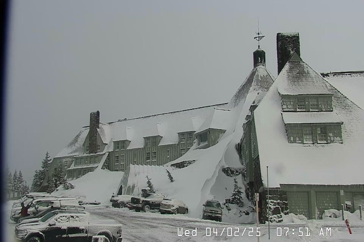
Timberline Lodge
33ºF| Elevation | 6,000' |
| Wind | @ mph |
| Wind Chill | °F |
| 24-Hour Snow | 0" |
| Base | 12" |
Mt Hood Meadows
41ºF| Elevation | 5,380' |
| Wind | @ mph |
| Wind Chill | °F |
| 24-Hour Snow | 0" |
| Base | 12" |
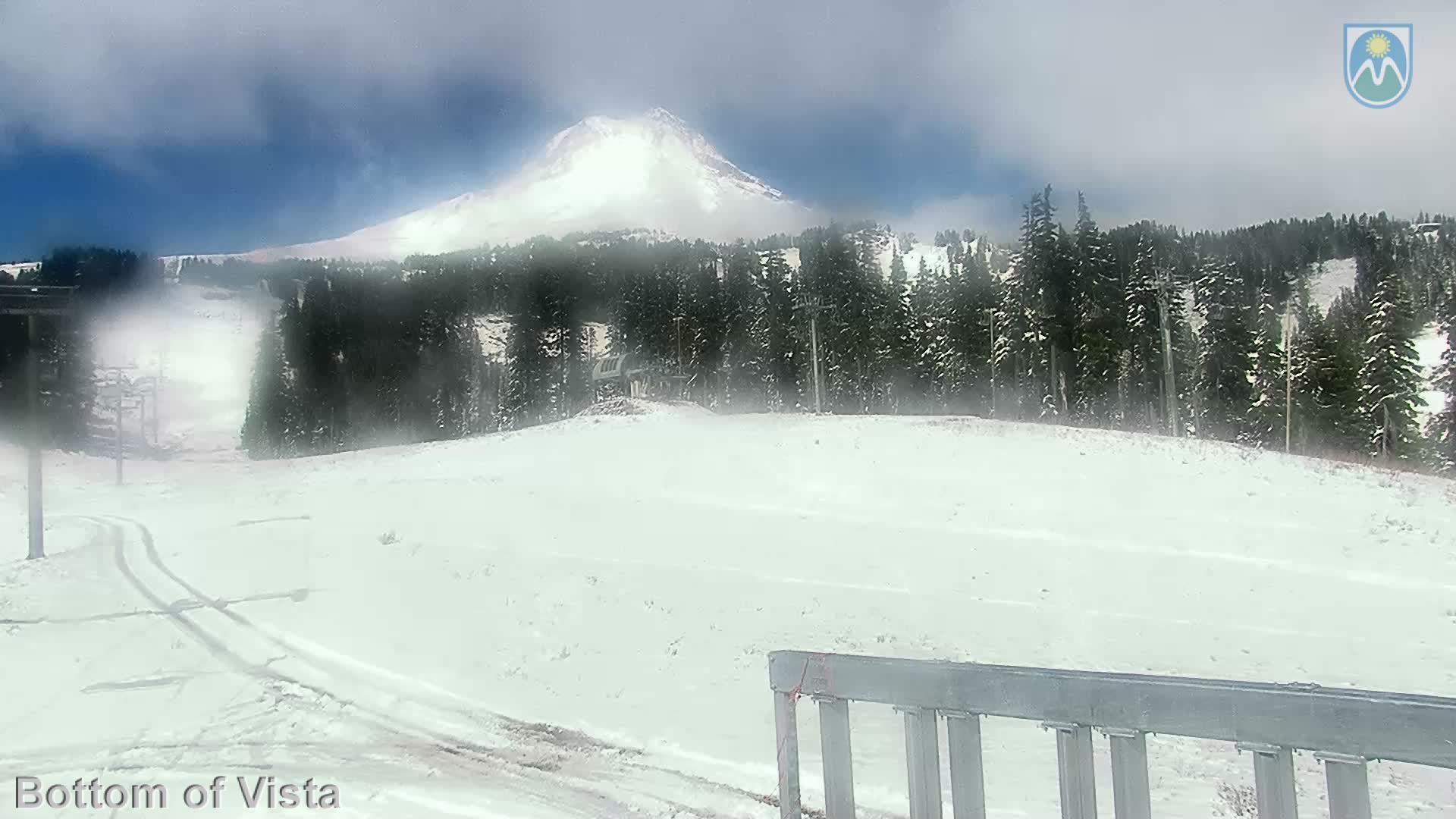
Skibowl
33ºF| Elevation | 5,010' |
| Wind | E @ 24.0 mph |
| Wind Chill | 20°F |
| 24-Hour Snow | 0" |
| Base | 2" |
GOVERNMENT CAMP FORECAST
Today : Sunny, with a high near 47. East northeast wind 5 to 7 mph becoming calm in the afternoon. Winds could gust as high as 18 mph.
Wednesday : Widespread frost, mainly before 8am. Otherwise, sunny, with a high near 54. Calm wind.
Wednesday Night : Areas of frost after 11pm. Otherwise, mostly clear, with a low around 35. Calm wind.
Thursday : Areas of frost before 9am. Otherwise, sunny, with a high near 52. Calm wind.
Thursday Night : A 20 percent chance of showers. Mostly cloudy, with a low around 41.
Friday : A 30 percent chance of showers. Partly sunny, with a high near 50.
Friday Night : Partly cloudy, with a low around 38.
Saturday : A slight chance of rain after 11am. Mostly sunny, with a high near 59.
Saturday Night : Rain, mainly after 11pm. Mostly cloudy, with a low around 40.
Sunday : Showers. Snow level 6400 feet lowering to 5000 feet in the afternoon . Cloudy, with a high near 44.
Sunday Night : Rain and snow showers. Snow level 4800 feet lowering to 4200 feet after midnight . Cloudy, with a low around 36.
Monday : Rain and snow showers likely. Snow level 4300 feet. Mostly cloudy, with a high near 42.