


Rod’s Weather Notes
TODAY
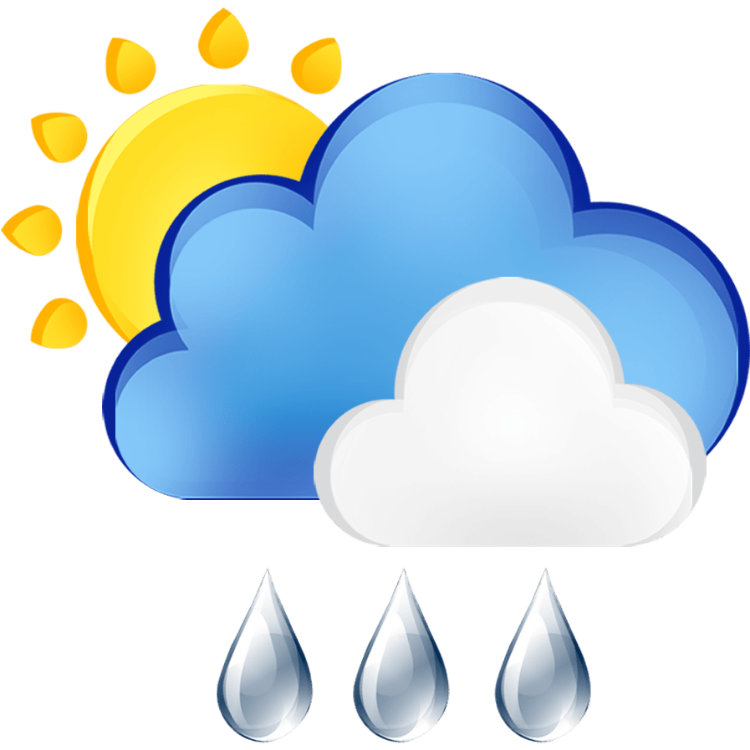
Wednesday: Cloudy, likely showers, new rain totals up to .25 inches. Snow level below Cascade passes for snowy travel. Winds breezy early northwest to 25 mph, easing west 5-15 mph.
Wednesday Night: Cloudy, showers overnight could turn to steady rain by morning.
Thursday: FLOOD WATCH: Steady rain much of the day and into the night.
Thursday Night: Cloudy, steady rain into early morning. 24-hour rain totals may exceed 1.50 inches.
Friday: FLOOD WATCH: Morning steady rain breaks into showers. 48 hour rain totals could near 2.00 inches.
Friday Night: Mostly cloudy, scattered showers.
Saturday: Mostly cloudy or partly sunny, likely showers, snow below Cascade passes.
Saturday Night: Mostly cloudy, showers.
Sunday: Cloudy, likely rain, south breezes.
Sunday Night: Cloudy, likely rain at times.
Monday: Cloudy, a rainy day is likely.
Monday Night: Likely rain continues.
Tuesday: Cloudy, a rainy day is likely.
Tuesday Night: Decreasing showers overnight.