

Live Camera, Gearhart by The Sea Resort
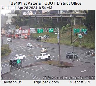
Astoria, OR
Wind: S @ 15.0 mph
Humidity: 94%
Pressure: 30.00in
Wind Chill: °F

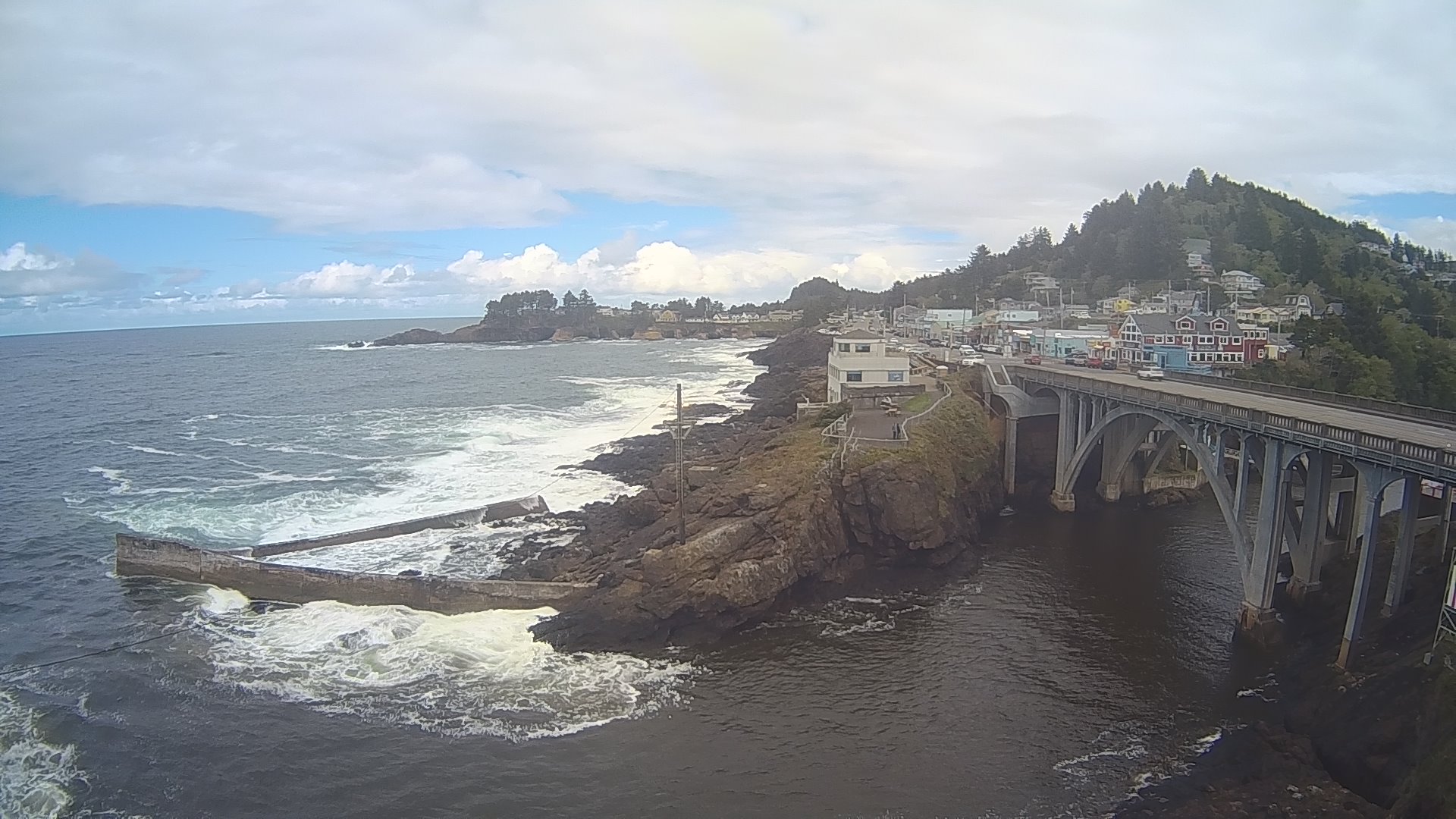
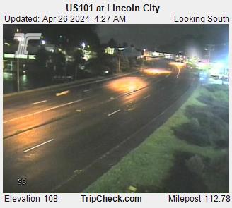
Lincoln City, OR
Wind: NNE @ 0.0 mph
Humidity: 77%
Pressure: 30.00in
Wind Chill: °F
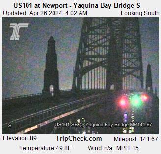
Newport, OR
Wind: SW @ 12.0 mph
Humidity: 100%
Pressure: 30.00in
Wind Chill: °F
Travelers should check travel cameras and updated forecasts.
Includes Pacific City, Cannon Beach, Seaside and Astoria
View Central Coast 7 Day ![]()
Wednesday

Rain and Breezy
41°/49°
Thursday

Rain and Breezy
42°/55°
Friday
Rain
41°/48°
Saturday

Rain
41°/48°
Sunday
Rain
43°/50°
Monday
Rain
41°/50°
Tuesday
Rain Likely
41°/49°
Wednesday: Rain and possibly a thunderstorm. High near 49. Breezy, with a west wind around 15 mph, with gusts as high as 25 mph. Chance of precipitation is 90%. New precipitation amounts between a tenth and quarter of an inch, except higher amounts possible in thunderstorms.
Wednesday Night: Rain before 10pm, then showers and possibly a thunderstorm between 10pm and 1am, then rain after 1am. Low around 41. South wind around 10 mph, with gusts as high as 18 mph. Chance of precipitation is 100%. New rainfall amounts between a quarter and half of an inch possible.
Thursday: Rain. High near 55. Breezy, with a southeast wind 14 to 18 mph becoming southwest in the afternoon. Winds could gust as high as 30 mph. Chance of precipitation is 100%. New precipitation amounts between three quarters and one inch possible.
Thursday Night: Rain. Low around 42. West wind 9 to 14 mph, with gusts as high as 21 mph. Chance of precipitation is 100%. New precipitation amounts between a quarter and half of an inch possible.
Friday: Rain. High near 48. Chance of precipitation is 100%.
Friday Night: Rain. Low around 41. Chance of precipitation is 90%.
Saturday: Rain. Mostly cloudy, with a high near 48.
Saturday Night: Rain likely. Mostly cloudy, with a low around 41.
Sunday: Rain. Cloudy, with a high near 50.
Sunday Night: Rain. Cloudy, with a low around 43.
Monday: Rain. Cloudy, with a high near 50.
Monday Night: Rain. Mostly cloudy, with a low around 41.
Tuesday: Rain likely. Mostly cloudy, with a high near 49.


 )
)
 )
)
 )
)
 )
)
 )
)
 )
)
 )
)
 )
)

 )
)