

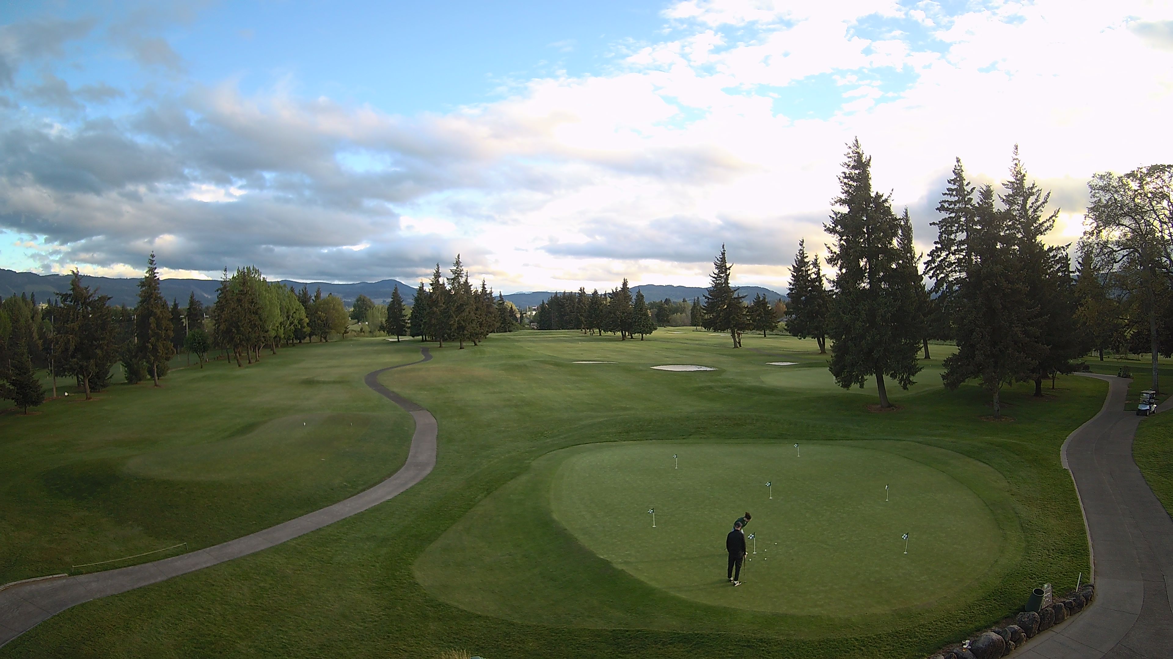
Indian Creek Golf, Hood River, OR
Cascade Locks, OR
Wind: NNW @ 1.0 mph
Humidity: 91%
Pressure: in
Wind Chill: °F
Hood River, OR
Wind: N @ 0.0 mph
Humidity: 93%
Pressure: 30.00in
Wind Chill: °F

The Dalles, OR
Wind: E @ 5.0 mph
Humidity: 87%
Pressure: 30.00in
Wind Chill: 42°F
NWS issues Flood Watch Monday - Thursday. Click on current temperatures below (desktop site) for hourly temps and wind reports, including Crown Point.
Includes Cascade Locks, Stevenson and Multnomah Falls
View Hood River 7 Day ![]()
This Afternoon

Rain
54°/56°
Wednesday

Rain and Windy
53°/59°
Thursday

Rain
49°/58°
Friday

Chance Rain
47°/59°
Saturday

Slight Chance Rain
47°/59°
Sunday
Rain Likely
47°/54°
Monday
Rain
°/55°
This Afternoon: Rain. High near 56. North northwest wind 6 to 8 mph, with gusts as high as 18 mph. Chance of precipitation is 100%. New precipitation amounts between three quarters and one inch possible.
Wednesday: Rain. High near 59. Windy, with a west southwest wind 18 to 22 mph, with gusts as high as 41 mph. Chance of precipitation is 80%. New precipitation amounts between a quarter and half of an inch possible.
Wednesday Night: Rain. Low around 54. Breezy, with a west southwest wind around 16 mph, with gusts as high as 34 mph. Chance of precipitation is 90%. New precipitation amounts between a quarter and half of an inch possible.
Thursday: Rain. High near 58. West southwest wind 11 to 14 mph, with gusts as high as 31 mph. Chance of precipitation is 90%. New precipitation amounts between a quarter and half of an inch possible.
Thursday Night: Rain likely, mainly before 10pm. Mostly cloudy, with a low around 53. Chance of precipitation is 60%.
Friday: A 30 percent chance of rain, mainly after 4pm. Mostly cloudy, with a high near 59.
Friday Night: A chance of rain before 10pm. Mostly cloudy, with a low around 49.
Saturday: A slight chance of rain after 10am. Partly sunny, with a high near 59.
Saturday Night: A chance of rain. Mostly cloudy, with a low around 47.
Sunday: Rain likely. Mostly cloudy, with a high near 54.
Sunday Night: Rain likely. Mostly cloudy, with a low around 47.
Monday: Rain. Cloudy, with a high near 55.
(Current Temperatures) View All Cameras ![]()


 )
)
 )
)
 )
)
 )
)
