

Timberline Ski Resort

Timberline Lodge
Elevation: 6,000'
Wind: @ mph
Wind Chill: °F
24-Hour Snow: 0"
Base: 0"

Mt Hood Meadows
Elevation: 5,380'
Wind: @ mph
Wind Chill: °F
24-Hour Snow: 0"
Base: 0"
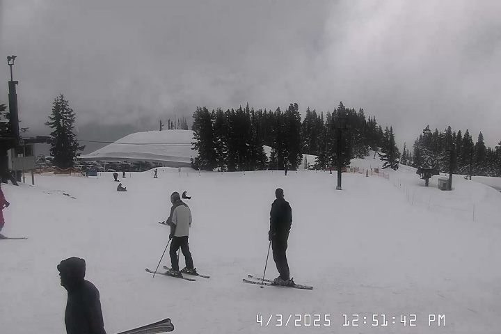
Skibowl
Elevation: 5,010'
Wind: SSW @ 5.0 mph
Wind Chill: 37°F
24-Hour Snow: 0"
Base: 0"

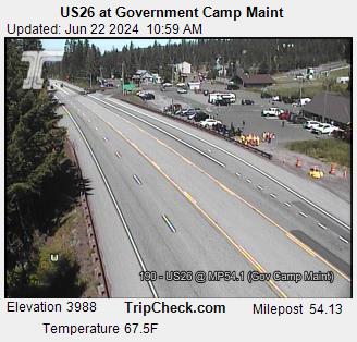
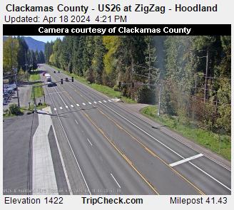
Government Camp Hwy 26
4026’
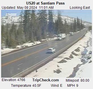
Santiam Pass Hwy 20
4817’
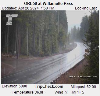
Willamette Pass Hwy 58
5128’
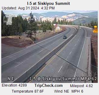
Siskiyou Pass I-5
4310’
Snoqualmie Pass I-90
3022’
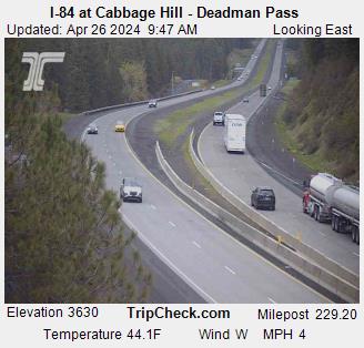
Cabbage Hill I-84
3620’
Coast Range Hwy 26
1600’
Murphy Hill Hwy 18
760’
Dudlee Hill Hwy 20
860’
 )
)
 )
)
 )
)
 )
)
 )
)
 )
)
 )
)
 )
)
 )
)
 )
)
 )
)
 )
)